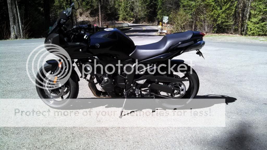
March
View attachment 44181
April
View attachment 44183
May
View attachment 44179
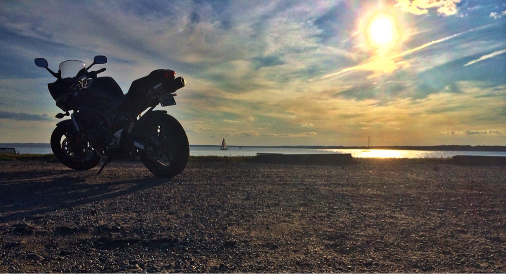
July
View attachment 44182
August
View attachment 44180 . . . . . . . Best ride, Wind River Rd. Photo from "B" View attachment 44184
View attachment 44181
April
View attachment 44183
May
View attachment 44179
July
View attachment 44182
August
View attachment 44180 . . . . . . . Best ride, Wind River Rd. Photo from "B" View attachment 44184
Last edited: