Clovis
Junior Member
Lately we've been getting some great weather for it being October in Colorado. Last week the mountains received a good dumping of snow but the weather forecast promised warm weather and sunny days ahead for the next week.
And they did not disappoint.
Step 1: Target selection!
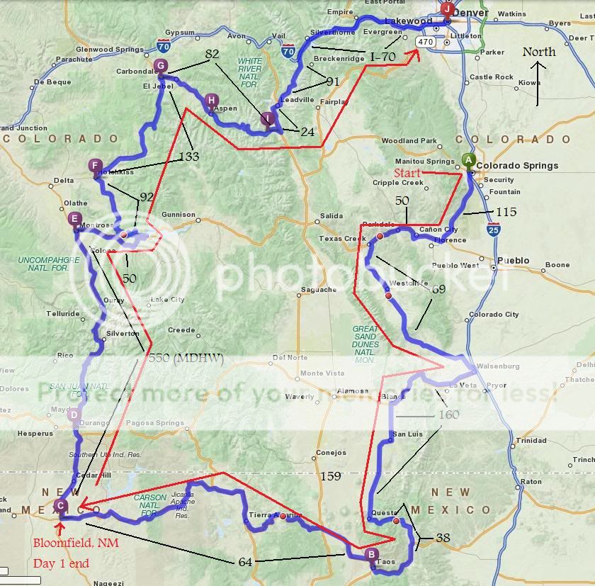
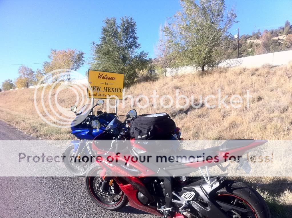
I decided that I wanted to go somewhere I haven't been to. Given the colder tempetures this time of year, going south into New Mexico was the obvious choice. I started exploring possible routes that were along the north end of New Mexico and settled on Taos, NM.
Step 2: Plan of attack
A route was drawn up that would consist of roughly 4/5 Colorado roads and 1/5 New Mexico. Sfarson, being familiar with the area gave me a few suggestions and we were set.
Step 3: Recruitment
Initially there were to be 4 of us going but two had things come up at the last minute so it ended up being just me and Bob (Corporate McGyver).
Step 4: Final prep
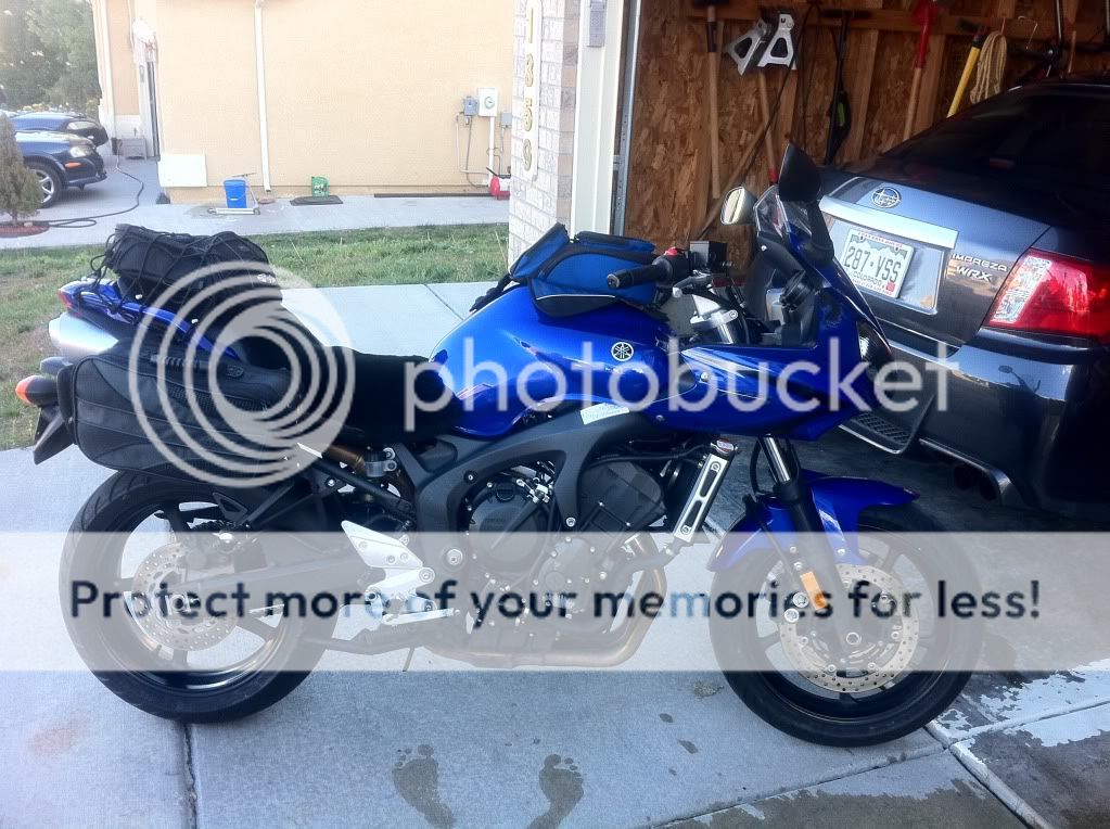
A few days before I got the bike ready for the trip. New tires, oil change, check other fluid levels and a new sheepskin seat pad were made.
Ready to rock and roll!
Step 5: Launch
Bob left Aurora and we met in Colorado Springs just before 7am. It was crisp and cold with the sun just starting to come up over the horizon.
We gassed up and finished our coffee and then it was off to the races!
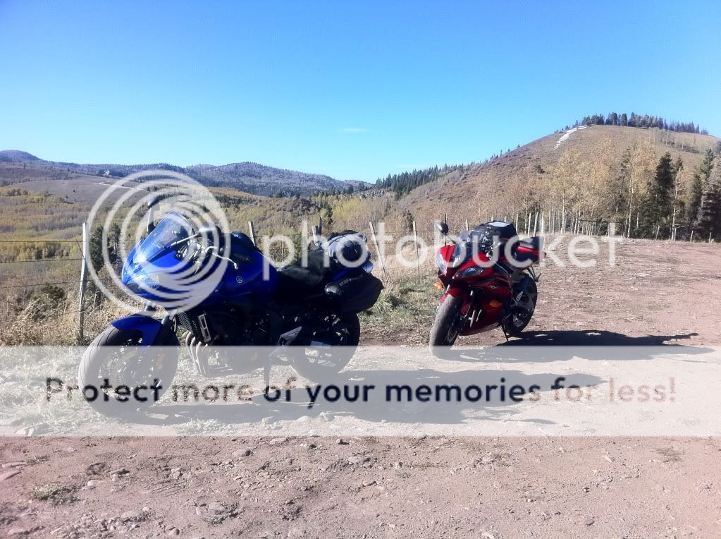
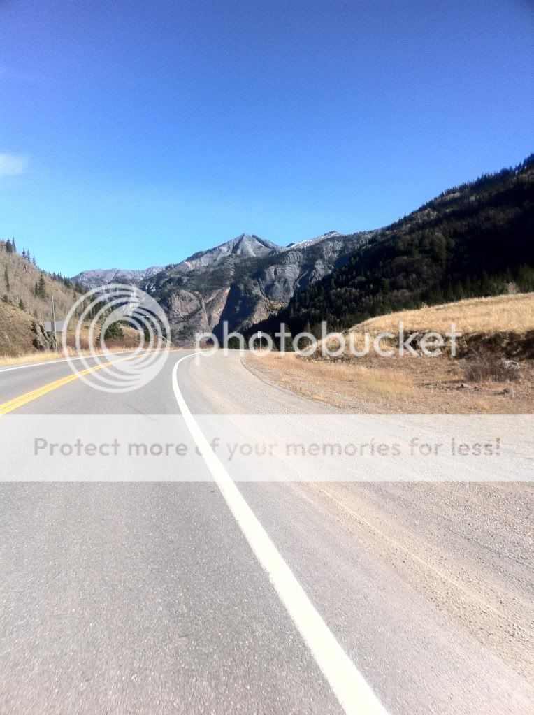
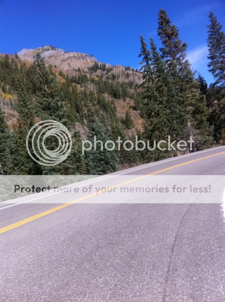
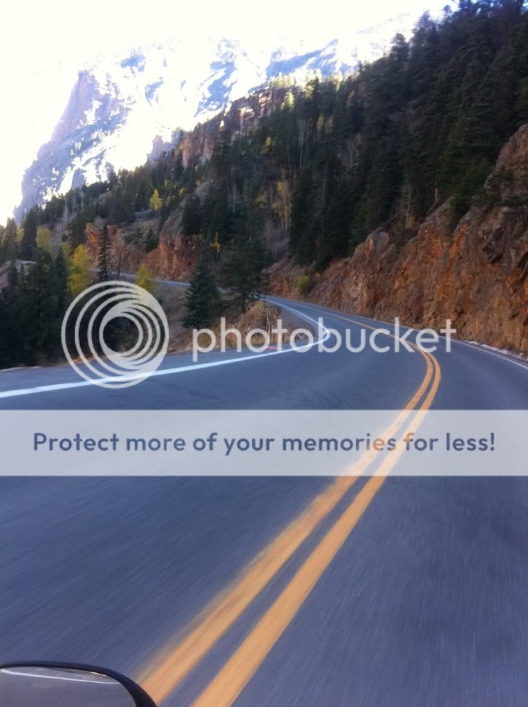
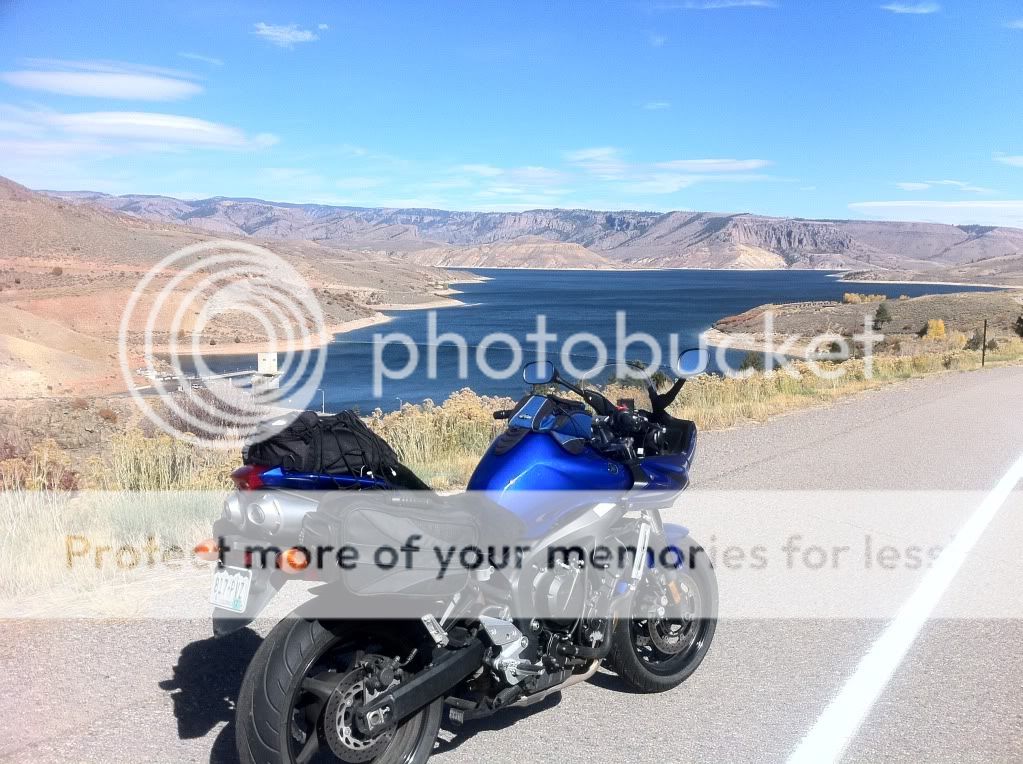
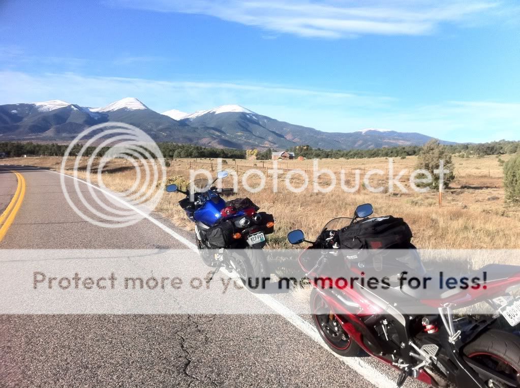
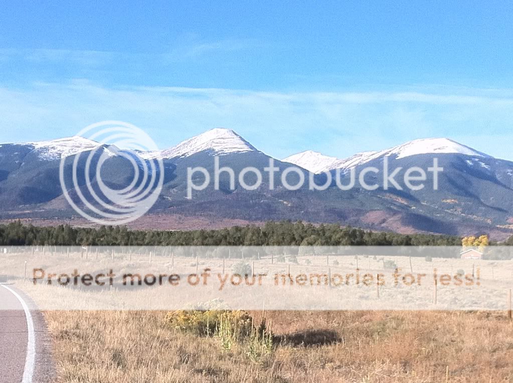
We made our way to Westcliffe, CO passing through Canon City. A few miles from Texas Creek we had our first photo op.
It was pretty cold and I was starting to wish I had heated glove liners.
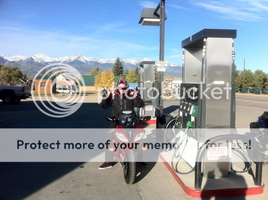
After a quick break we continued on and decided to refill our tanks in Westcliffe before heading on to La Veta.
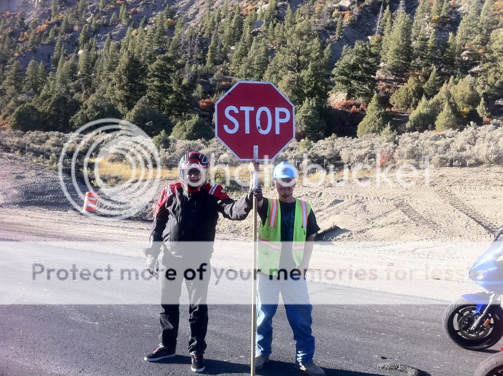
Bob throwing some kind of gang sign. I don't think he could feel his fingers though.
The roads after Westcliffe were long, straight and kind of bumpy allowing us to cruise well into the triple digit speeds. As it turned out, this would be the theme for the day.
We stopped briefly in a small town around Walsenburg to make some adjustments to my rear suspension. Thankfully it was warming up by now so the jacket liner came off.
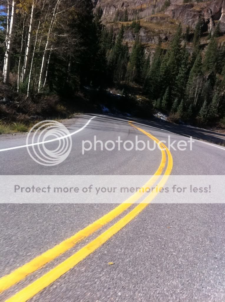
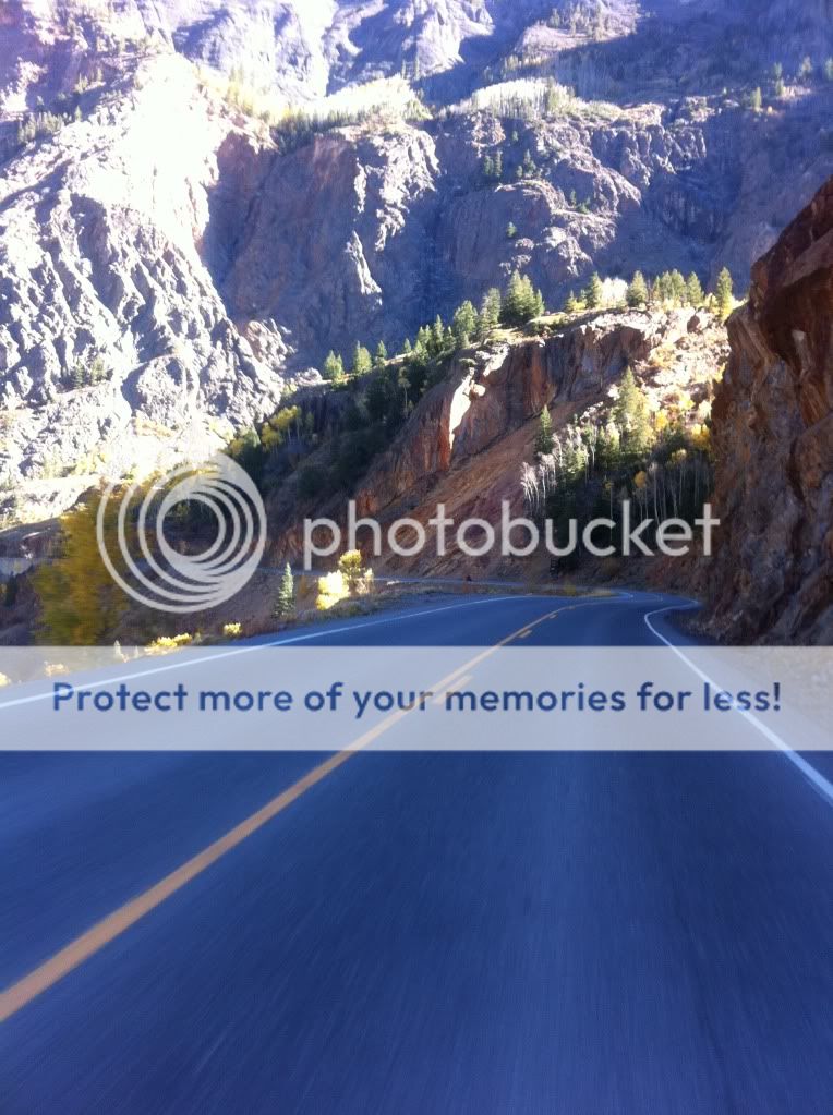
We arrived in Le Veta and at the last second we made a course change to go down Hwy 12. As I saw the sign for 12 I recalled Sfarson's suggestion and without hesitation turned. Unknown at the time, this little detour would cost us lunch but it was well worth it.
The road is prestine full of 30-35mph (yellow sign) sweepers and no LEO presence that we encountered.
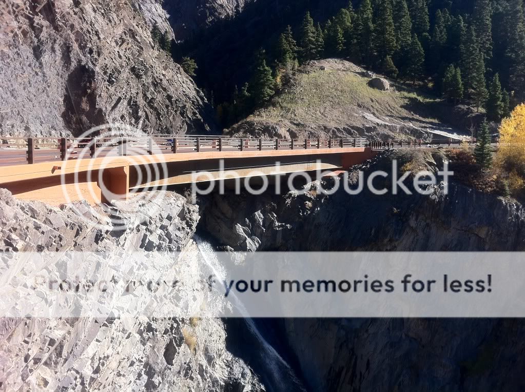
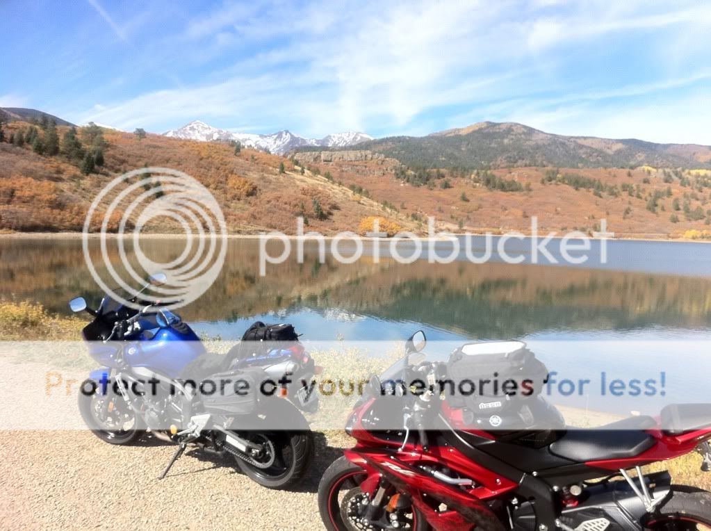
We made another quick photo stop at a dam on Hwy 12
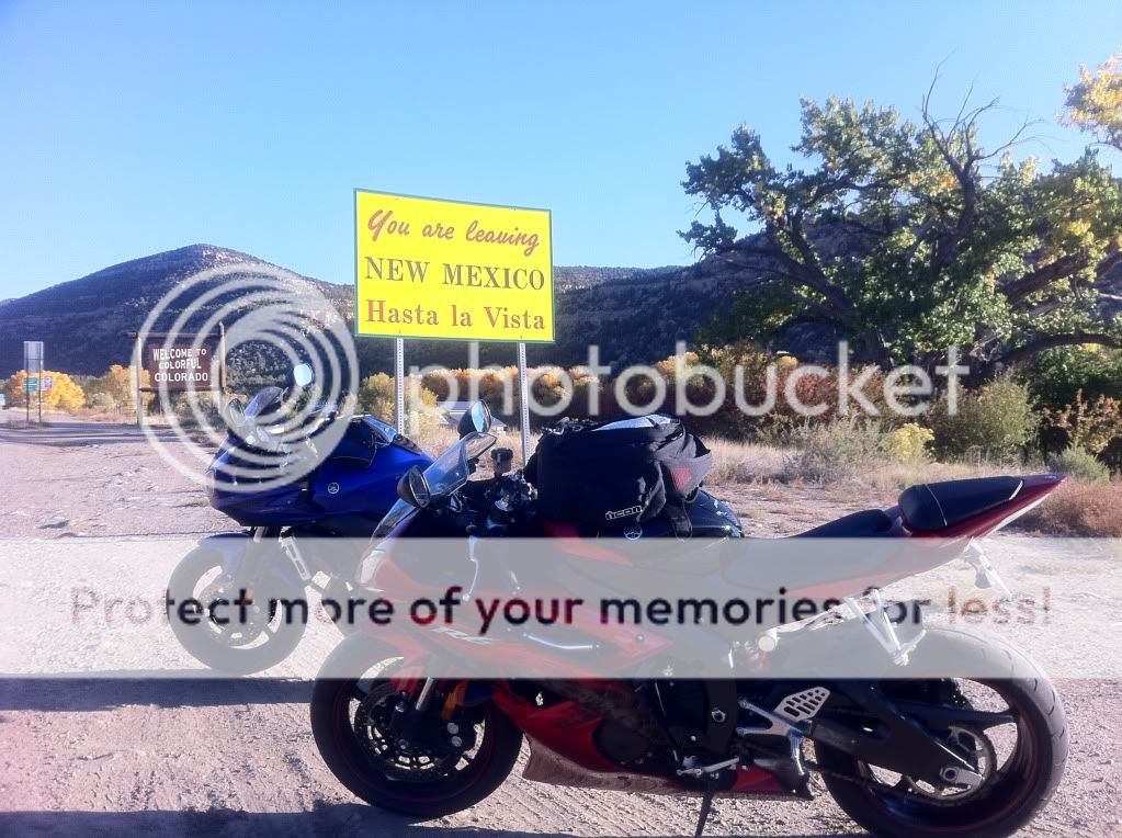
12 put us out at Trinidad and we decided to cross the border via I-25.
Bob warned me that the New Mexico highway patrol enjoy stalking their pray close to the border and sure enough as we came on our exit for Hwy 64 just past Raton, NM there was a black and white sitting on the overpass bridge.
Now I knew what to look for. Black and whites... they're going to be easy to spot!
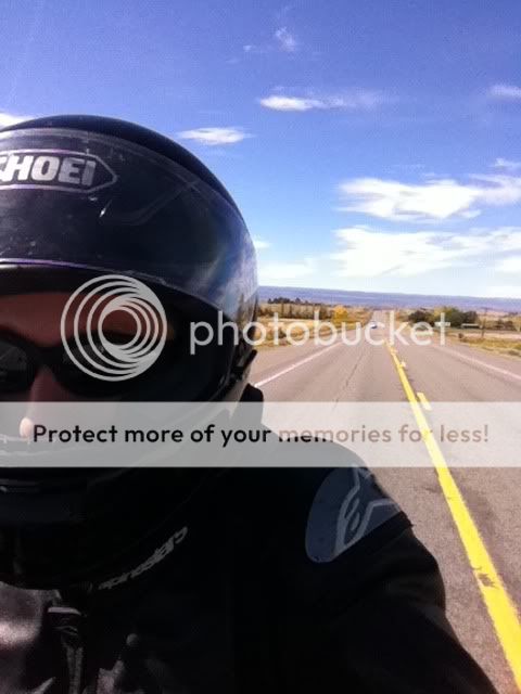
We turned on to 64 and and started our way to Eagle Nest, NM.
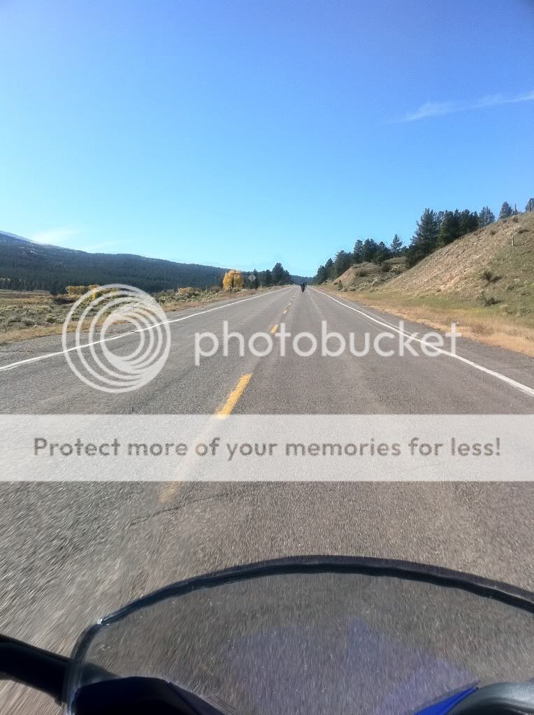
Hwy 64 is straight as an arrow and we were once again able to cruise at triple digit speeds. We were practically the only ones one the road. To say "there was no traffic" would be an understatement. We came across a lone car maybe every few minutes.
Following the usual rule of "fast inbetween towns, slow in towns" we came to Cimarron, NM and slowed down to around posted speeds. A sheriff was at the end of town (presumably) looking for speeders coming the other way. We waved and he waved back. As soon as we were a a mile or two away we opened the throttle back up.
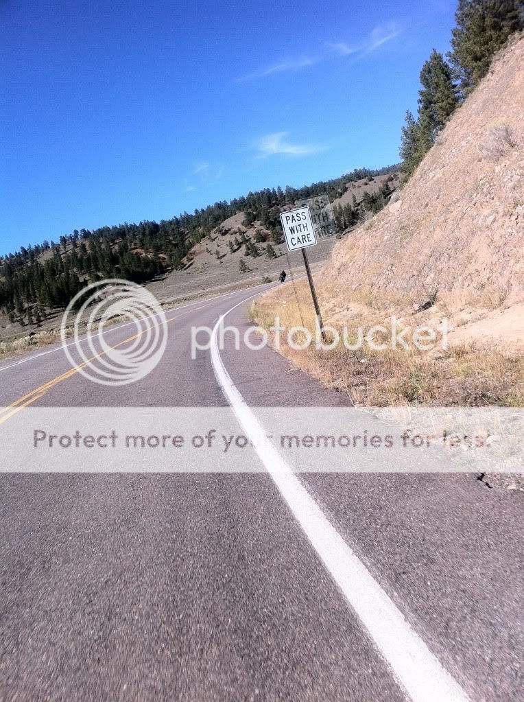
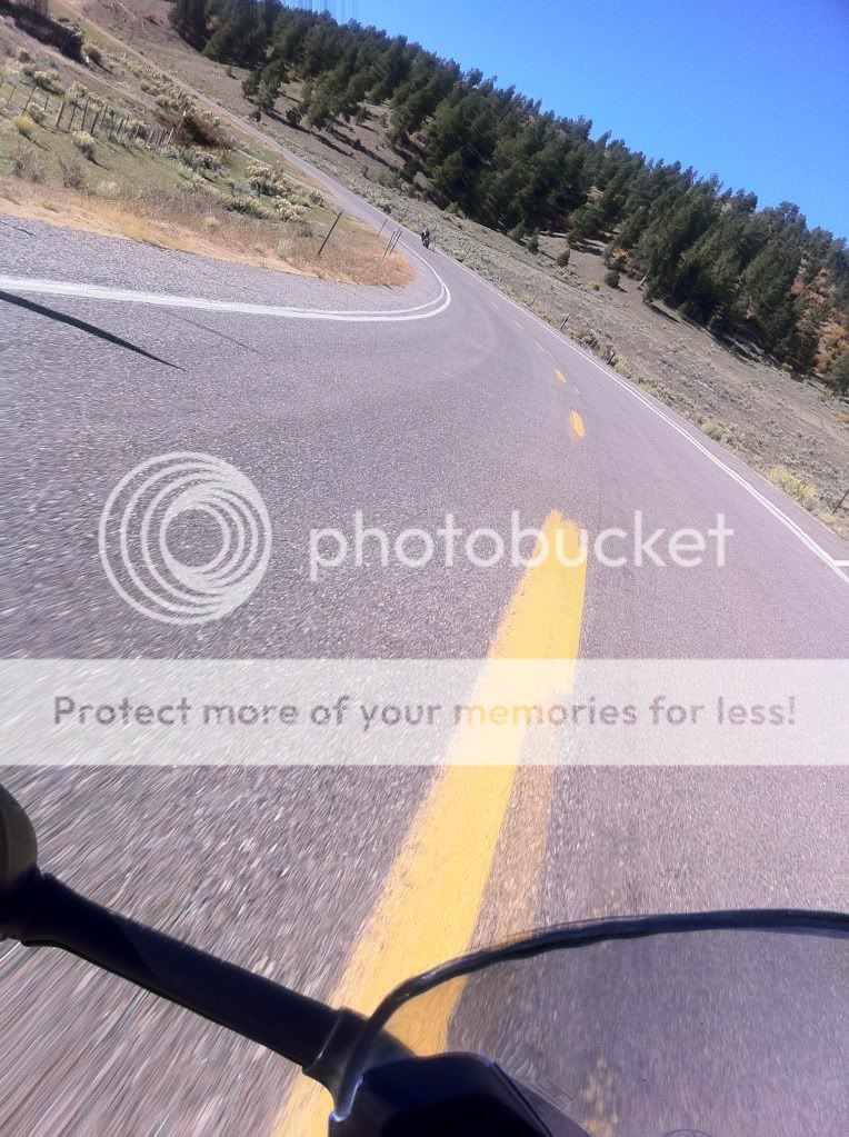
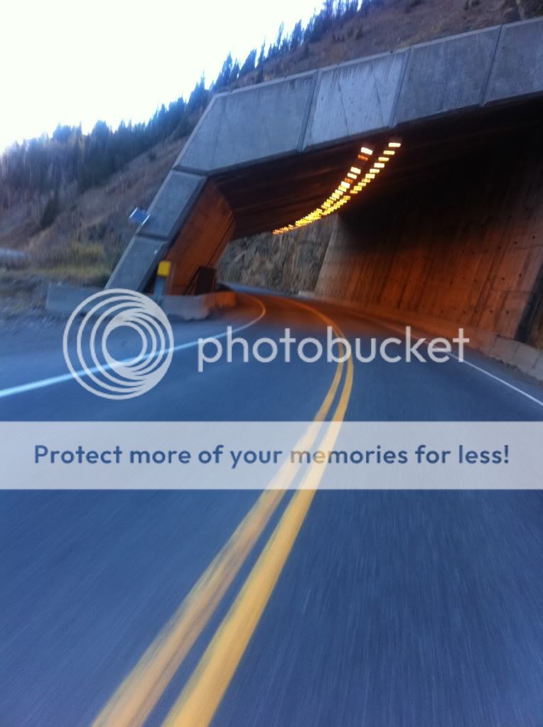
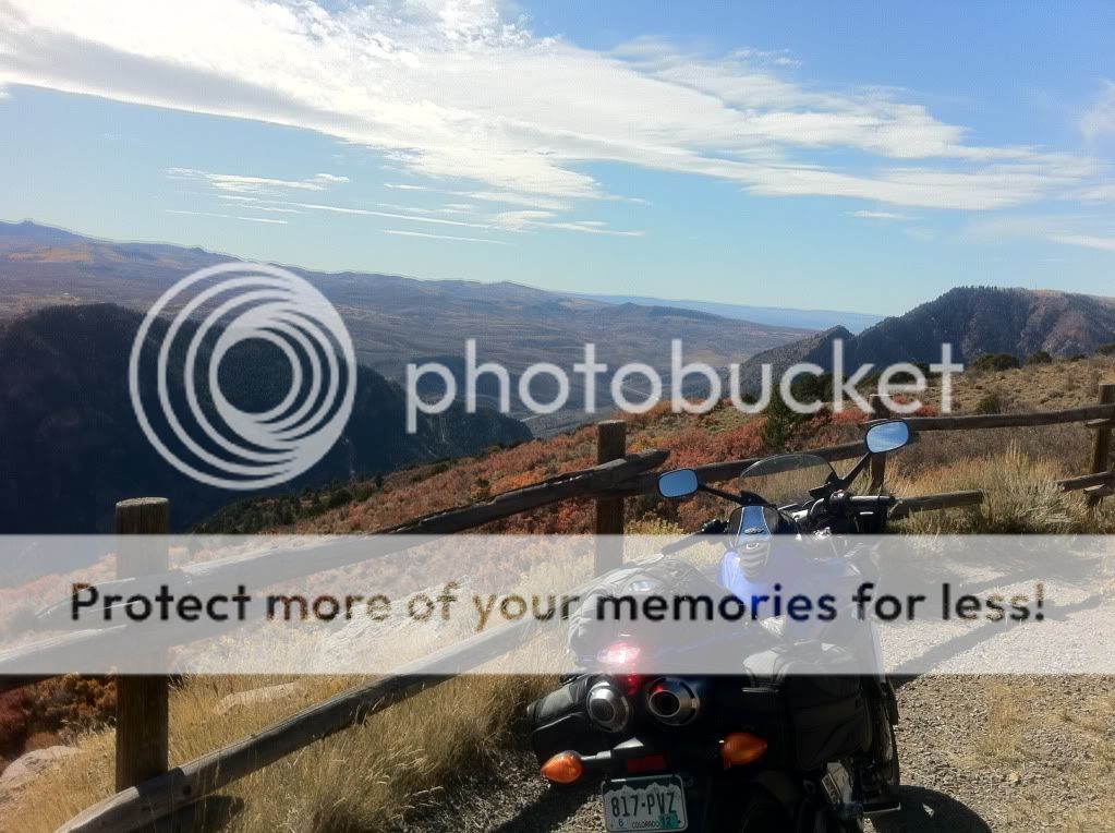
A few miles past Cimarron we entered the mountains. One thing I took note of was that New Mexico uses a lot of chip sealing for their mountain roads but they were compacted enough to not be a problem.
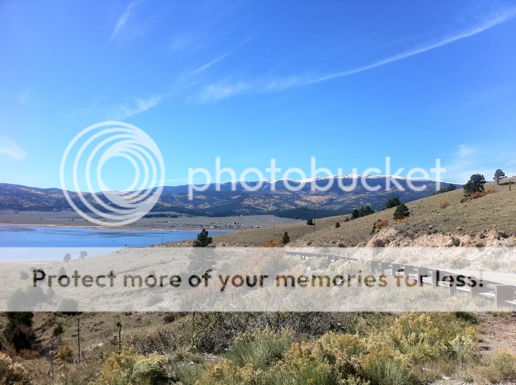
A few dozen miles later we came up to Eagle Nest, which as it turns out, has a giant lake. Highway 64 comes over the mountain and drops you into the valley. The pictures really don't do it justice.
From Eagle Nest it was on to Taos. Traffic through town was surprisingly thick and while I had planned to stop for lunch, our first priority was finding a gas station. We found one almost at the end of town.
Gas was $3.09/gal and the temp was around 85 degrees! Unfortantely we passed all the resturants and stopping for lunch would mean wading our way back through Taos and with the extra time already added on from Highway 12 we decided to skip lunch all together.
Despite being the trip's namesake, I didn't get a single picture of Taos.
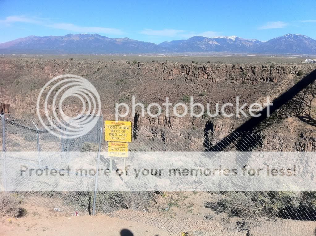
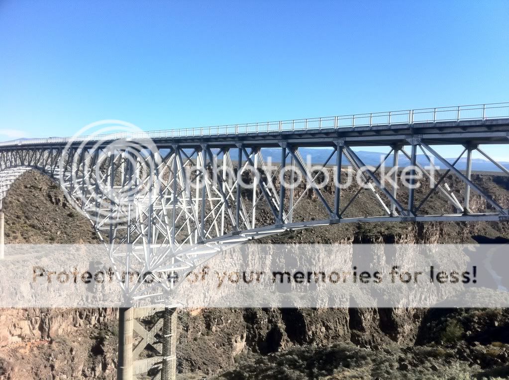
We continued our push on Hwy 64 and came to the Rio Grande Gorge Bridge (or simply the "Gorge bridge" as it is known locally).
Another quick photo stop!
And they did not disappoint.
Step 1: Target selection!
I decided that I wanted to go somewhere I haven't been to. Given the colder tempetures this time of year, going south into New Mexico was the obvious choice. I started exploring possible routes that were along the north end of New Mexico and settled on Taos, NM.
Step 2: Plan of attack
A route was drawn up that would consist of roughly 4/5 Colorado roads and 1/5 New Mexico. Sfarson, being familiar with the area gave me a few suggestions and we were set.
Step 3: Recruitment
Initially there were to be 4 of us going but two had things come up at the last minute so it ended up being just me and Bob (Corporate McGyver).
Step 4: Final prep
A few days before I got the bike ready for the trip. New tires, oil change, check other fluid levels and a new sheepskin seat pad were made.
Ready to rock and roll!
Step 5: Launch
Bob left Aurora and we met in Colorado Springs just before 7am. It was crisp and cold with the sun just starting to come up over the horizon.
We gassed up and finished our coffee and then it was off to the races!
We made our way to Westcliffe, CO passing through Canon City. A few miles from Texas Creek we had our first photo op.
It was pretty cold and I was starting to wish I had heated glove liners.
After a quick break we continued on and decided to refill our tanks in Westcliffe before heading on to La Veta.
Bob throwing some kind of gang sign. I don't think he could feel his fingers though.
The roads after Westcliffe were long, straight and kind of bumpy allowing us to cruise well into the triple digit speeds. As it turned out, this would be the theme for the day.
We stopped briefly in a small town around Walsenburg to make some adjustments to my rear suspension. Thankfully it was warming up by now so the jacket liner came off.
We arrived in Le Veta and at the last second we made a course change to go down Hwy 12. As I saw the sign for 12 I recalled Sfarson's suggestion and without hesitation turned. Unknown at the time, this little detour would cost us lunch but it was well worth it.
The road is prestine full of 30-35mph (yellow sign) sweepers and no LEO presence that we encountered.
We made another quick photo stop at a dam on Hwy 12
12 put us out at Trinidad and we decided to cross the border via I-25.
Bob warned me that the New Mexico highway patrol enjoy stalking their pray close to the border and sure enough as we came on our exit for Hwy 64 just past Raton, NM there was a black and white sitting on the overpass bridge.
Now I knew what to look for. Black and whites... they're going to be easy to spot!
We turned on to 64 and and started our way to Eagle Nest, NM.
Hwy 64 is straight as an arrow and we were once again able to cruise at triple digit speeds. We were practically the only ones one the road. To say "there was no traffic" would be an understatement. We came across a lone car maybe every few minutes.
Following the usual rule of "fast inbetween towns, slow in towns" we came to Cimarron, NM and slowed down to around posted speeds. A sheriff was at the end of town (presumably) looking for speeders coming the other way. We waved and he waved back. As soon as we were a a mile or two away we opened the throttle back up.
A few miles past Cimarron we entered the mountains. One thing I took note of was that New Mexico uses a lot of chip sealing for their mountain roads but they were compacted enough to not be a problem.
A few dozen miles later we came up to Eagle Nest, which as it turns out, has a giant lake. Highway 64 comes over the mountain and drops you into the valley. The pictures really don't do it justice.
From Eagle Nest it was on to Taos. Traffic through town was surprisingly thick and while I had planned to stop for lunch, our first priority was finding a gas station. We found one almost at the end of town.
Gas was $3.09/gal and the temp was around 85 degrees! Unfortantely we passed all the resturants and stopping for lunch would mean wading our way back through Taos and with the extra time already added on from Highway 12 we decided to skip lunch all together.
Despite being the trip's namesake, I didn't get a single picture of Taos.
We continued our push on Hwy 64 and came to the Rio Grande Gorge Bridge (or simply the "Gorge bridge" as it is known locally).
Another quick photo stop!