Red Wazp
Super Member
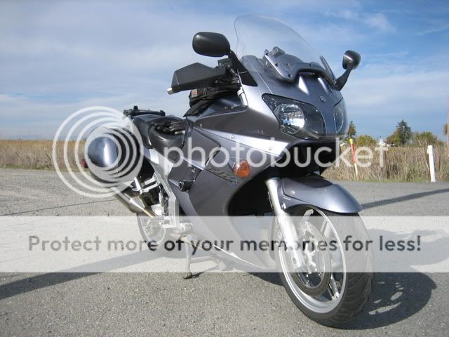
So after a week of record cold, snow and power outages up here in the foothills I had to get out for a ride. Fortunately once the snow is off the roads I can ride down to the massive central valley of Ca to get away from winter.
My reason to get out of Dodge

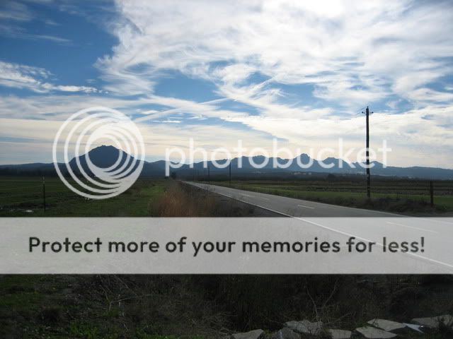
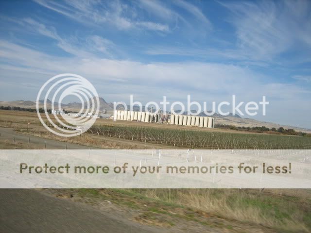
The Sutter Buttes are an hour north of Sacramento surrounded by farm land and the Sacramento river on the west side. They rise up from the 50' elevation of the farm land to over 2,100 ' on the South Butte and close to 1900' for the North Butte. Here you can see the Buttes behind the rice silos looking to the north.
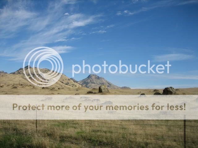
They were once active volcano's which is evident in the rock formations.
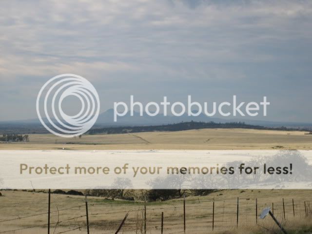
Here is a distant view from the west showing a field ready for planting a winter crop.

A quick picture of the Sacramento River in a peaceful state.

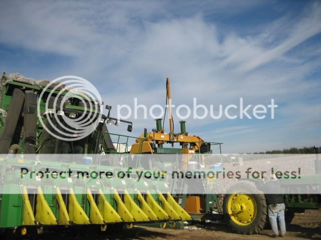
I've never seen Cotton this far north as usually it's planted a few hundred miles south of here, but I came up on these guys harvesting it. Notice the guy driving the harvester wave at me? Perhaps he is a Yamaha guy!
Be right back, have to throw a log on the fire.
My reason to get out of Dodge
The Sutter Buttes are an hour north of Sacramento surrounded by farm land and the Sacramento river on the west side. They rise up from the 50' elevation of the farm land to over 2,100 ' on the South Butte and close to 1900' for the North Butte. Here you can see the Buttes behind the rice silos looking to the north.
They were once active volcano's which is evident in the rock formations.
Here is a distant view from the west showing a field ready for planting a winter crop.
A quick picture of the Sacramento River in a peaceful state.
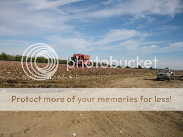
I've never seen Cotton this far north as usually it's planted a few hundred miles south of here, but I came up on these guys harvesting it. Notice the guy driving the harvester wave at me? Perhaps he is a Yamaha guy!
Be right back, have to throw a log on the fire.